Online Resources
The following online resources include databases to which the library has subscribed, BadgerLink resources, and websites that are affiliated with the library or host library-owned content.
Please note: A library card may be required to access some of these resources from home.
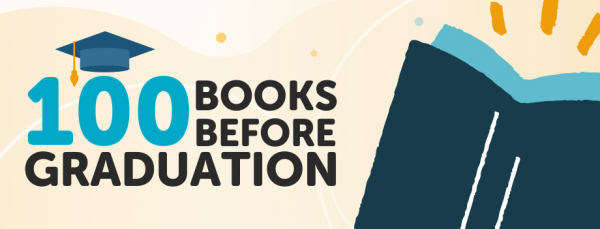
100 Books Before Graduation
Teens are invited to participate in our "100 Books Before Graduation" challenge using the free Beanstack app! This challenge encourages high school students to read widely before college. Rewards are earned at the 20, 50, 70 and 100 book milestones and include book...
Academic Search Premier
Academic journals for scholarly research. For college-level and adult researchers, this comprehensive database includes articles from 4,700+ full-text publications in the fields of biology, chemistry, engineering, physics, religion & theology, psychology and...
Advanced Placement Source
Full-text journals and magazines for high school students enrolled in various Advanced Placement (AP) and International Baccalaureate (IB) courses. Access to this resource is provided by Badgerlink. BadgerLink is Wisconsin's Online Library, providing Wisconsin...
Alt HealthWatch
Alternative and holistic approaches to health care and wellness. Full-text articles for more than 190 international, and often peer-reviewed journals. Subjects include acupuncture, aromatherapy, childbirth, Chinese medicine, chiropractic, creative therapies,...
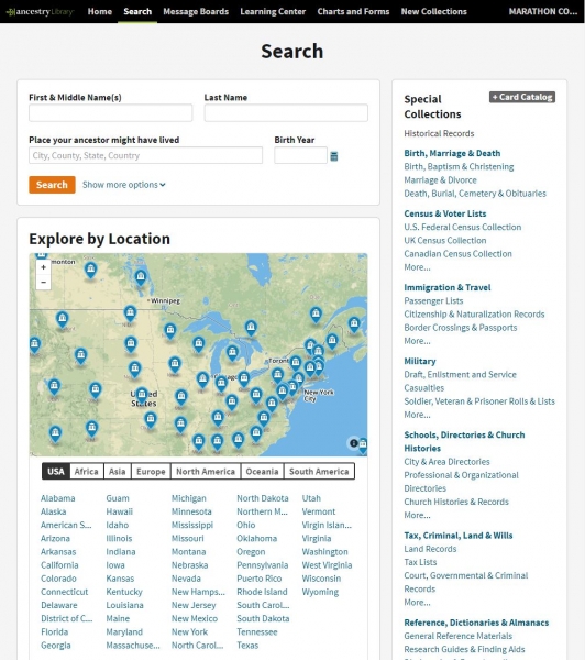
Ancestry: Library Edition
Only accessible while at the library. With over 1.2 billion records in over 3,000 databases, Ancestry is a comprehensive online source of information available for conducting genealogical and local history research. Access to this resource is provided by Wisconsin...

Archive of Wisconsin Newspapers
Archive of Wisconsin Newspapers covers full-text daily and weekly Wisconsin newspapers from 2005 to 90 days ago, as well as 13 historical Wisconsin newspapers from the 1800s and 1900s. Each newspaper is available cover to cover in a searchable PDF format. See...
AtoZdatabases
Discover businesses, people, jobs and more! AtoZdatabases includes whitepages and yellowpages phone and address listings, plus a wealth of additional information. It is ideal for finding friends and relatives, researching local businesses, finding employment...
Auto Repair Source
This resource provides authoritative and up-to-date service and repair information for thousands of domestic and imported vehicles. Details: From the automotive experts at MOTOR All content comes from the Original Equipment Manufacturers (OEM) Includes: service and...
Booklist Reader
Booklist Reader is a digital magazine that features diverse reading recommendations for readers of all ages. Monthly issues are filled with high-interest, themed lists that showcase books patrons can read and check out now. Marathon County Public Library (MCPL)...
BookPage
Book reviews, reading lists, book club resources, book-finding tools and more. This is the online version of the free BookPage newspaper that is available monthly at all MCPL locations.Marathon County Public Library (MCPL) Phone: 715-261-7200 Fax: 715-261-7204 Email:...
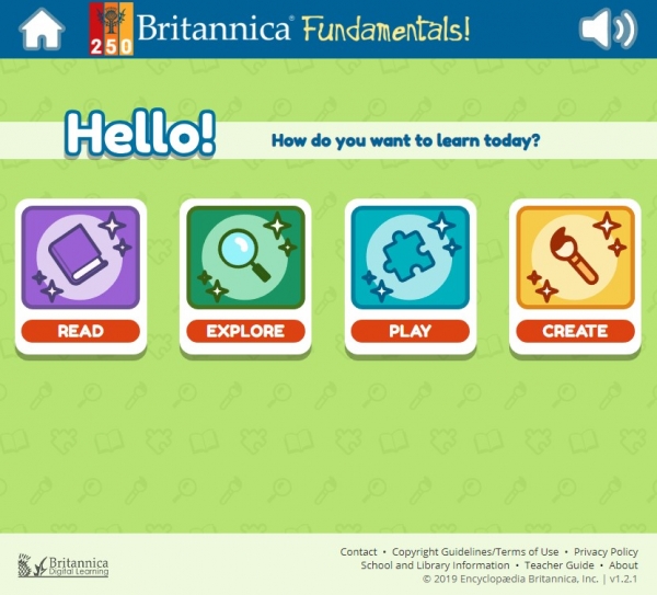
Britannica Fundamentals
Engaging and developmentally-appropriate activities for young learners, including an interactive atlas, learning games, audio and video, and vocabulary builders. Teaches geography, time, shapes, numbers, and relevant vocabulary, all in a fun and safe online...
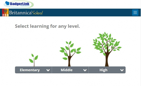
Britannica School
Access point for Britannica's encyclopedia content for children in elementary, middle and high school. Details: Every article and image have a citation. Double-click on a word for definitions, pronunciations, and Spanish translation. Switch between levels to find...
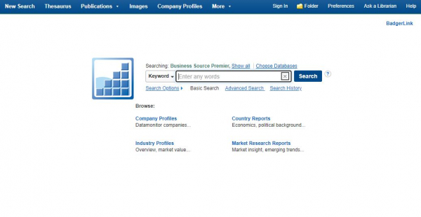
Business Source Premier
Full-text journal and peer-reviewed articles covering all disciplines of business. Covers all business disciplines including marketing, management, accounting, finance and economics. More than 2,000 full-text journals. Explore company profiles, industry reports,...
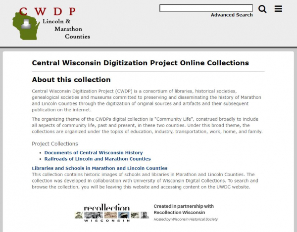
Central Wisconsin Digitization Project
Central Wisconsin Digitization Project (CWDP) is a consortium of libraries, historical societies, genealogical societies and museums committed to preserving and disseminating the history of Marathon and Lincoln counties through the digitization of original sources and...
Computers & Applied Science Complete
Full-text database covering computing, technology and engineering disciplines. Access to this resource is provided by Badgerlink. BadgerLink is Wisconsin's Online Library, providing Wisconsin residents with licensed content not available through regular search...
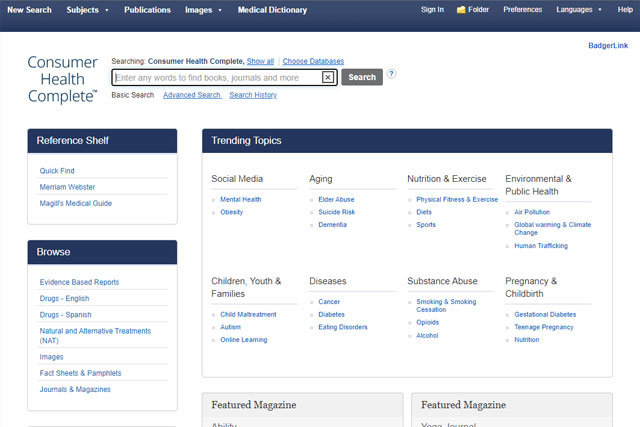
Consumer Health Complete
Consumer-oriented health content, from mainstream to holistic medicine. Full text for more than 560 magazines and journals. 230 full-text health reference books and encyclopedias. Hundreds of medical images and diagrams. Note: As of 2022, AHFS Consumer Medication...
Consumer Reports
Find reviews and comparisons of consumer products and services from "Consumer Reports" magazine, including articles from 1991 to the current issue. For best results, please refer to the instructions below. Articles from other Consumer Reports publications — "Consumer...
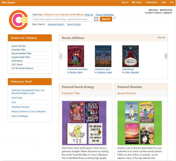
Core Collections Complete
Interface search for children's, middle & junior high, and senior high core collections that includes reliable guides for collection development and maintenance, curriculum support, readers' advisory and general reference. Access to this resource is provided...
EBSCO All Databases
Access point for all BadgerLink EBSCO databases. Includes databases of magazines, journals, newspapers, images and reference resources covering education, health, business and general areas of interest. Access to this resource is provided by Badgerlink. BadgerLink...
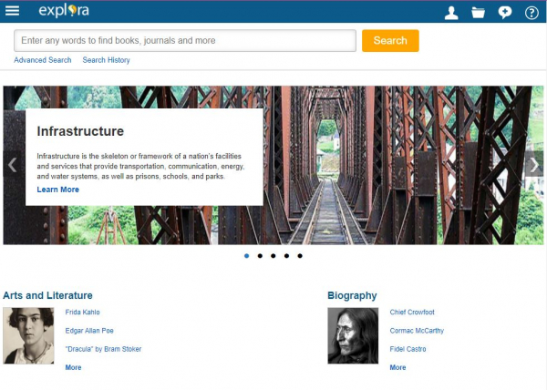
Explora
Age-appropriate interfaces used to discover and browse EBSCOhost articles. Access to this resource is provided by Badgerlink. BadgerLink is Wisconsin's Online Library, providing Wisconsin residents with licensed content not available through regular search...
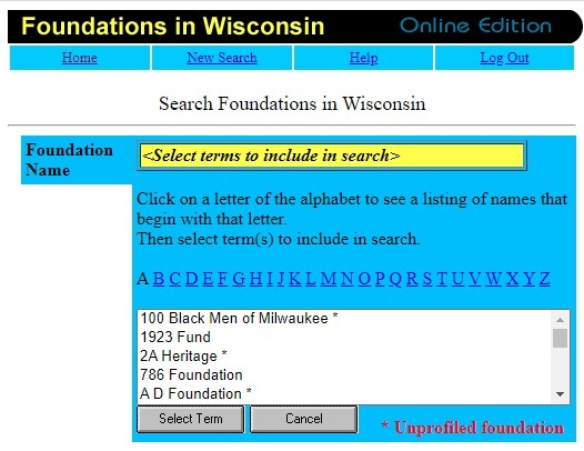
Foundations in Wisconsin
This resource has been discontinued as of 2023-12-31.
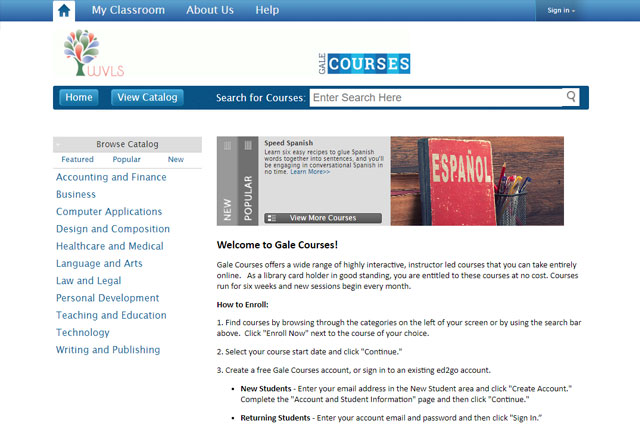
Gale Courses
2023-11-01: Gale Courses has been discontinued.Access to this resource is provided by Wisconsin Valley Library Service (WVLS), a regional library system that includes the Marathon County Public Library. For more information about WVLS, visit https://wvls.org.Marathon...
GreenFILE
Articles covering all aspects of human impact on the environment. Includes scholarly, government and general-interest titles. Content covers global climate change, green building, pollution, sustainable practices, renewable energy and recycling. Key journals...
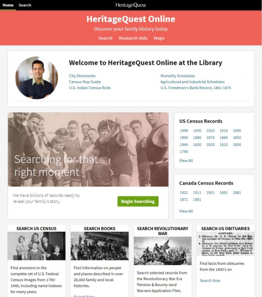
HeritageQuest
Comprehensive treasury of American genealogical sources. Collection of genealogical and historical sources. U.S. Federal Censuses, books, bank records and more. Unique primary sources, local and family histories. Access to this resource is provided...
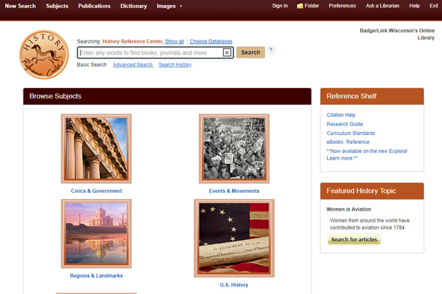
History Reference Source
The world's most comprehensive full text history reference database suitable for high school and college-level research. Features over 1,990 reference books, encyclopedias and non-fiction books from leading history publishers, plus articles from more than 150 leading...
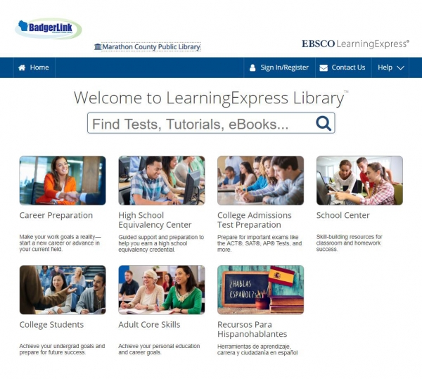
LearningExpress Library
Practice tests, tutorials, and e-books to help you succeed at work, school, or while searching for a job. Offers test preparation resources for the ACT, AP, CLEP, PSAT, SAT, TOEFL, GED, U.S. Citizenship, and more. Also, offers tutorials for all ages in the subject...
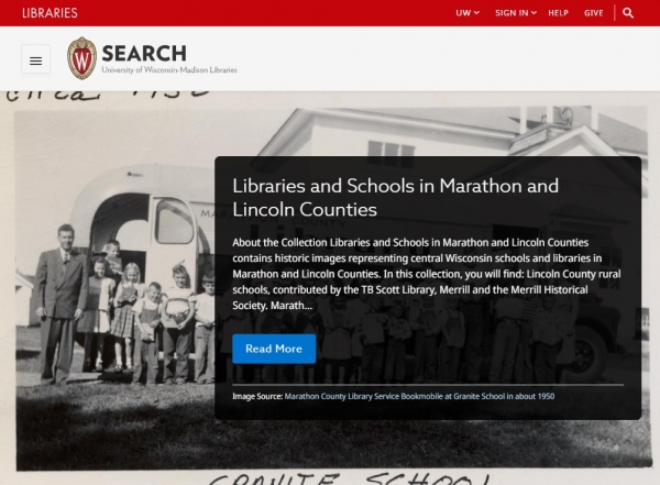
Libraries and Schools in Marathon and Lincoln Counties
"Libraries and Schools in Marathon and Lincoln Counties" contains historic images representing central Wisconsin schools and libraries in Marathon and Lincoln Counties. In this collection, you will find: Lincoln County rural schools, contributed by the TB Scott...
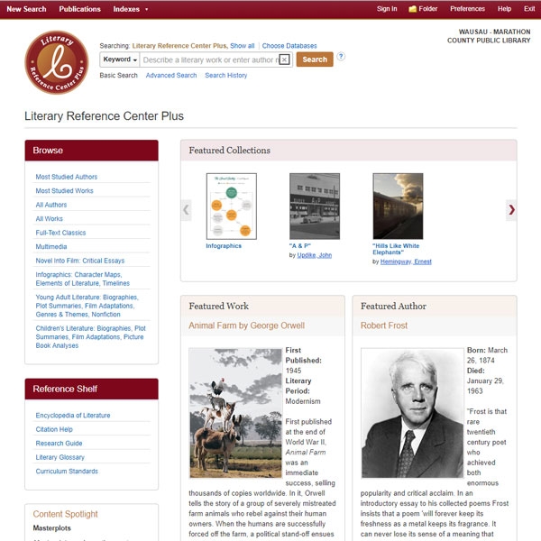
Literary Reference Source Plus
Information on thousands of authors and their works, including summaries, literary criticism, biographies, reviews, interviews, classic and contemporary poems and short stories, full-text access to classic works of literature, and much more. Access to this resource is...
Mango Languages
Mango’s software teaches real conversations in more than 70 languages with engaging grammar, culture, vocabulary and pronunciation lessons. You’ll learn to speak new languages and meet new cultures through authentic experiences, like overhearing a conversation between...
Marathon County Government
Whether you are passing through the area or looking to relocate here, we want you to enjoy Marathon County to the fullest. Browsing this website is a great start to discovering all the resources our beautiful and diverse county has to offer. (The Marathon County...
Marathon County Job Opportunities
We value each individual and the unique skills and background he or she brings to our community. We offer a wide variety of career opportunities and encourage you to explore your true potential in an environment that fosters professional and personal growth. Our work...
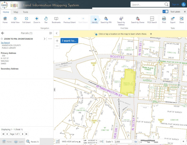
Marathon County Land Records / Maps (GIS)
Access Marathon County's geographic information system (GIS) to view a wide array of information about county properties, including aerial photographs, topography, soil types, natural features and shoreland, land ownership information, property lines and descriptions...
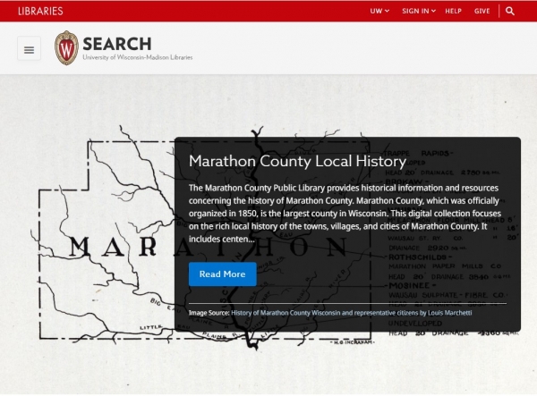
Marathon County Local History
This digital collection focuses on the rich local history of the towns, villages, and cities of Marathon County. It includes centennial histories written by local residents, with many illustrations documenting family life and economic development in central Wisconsin....
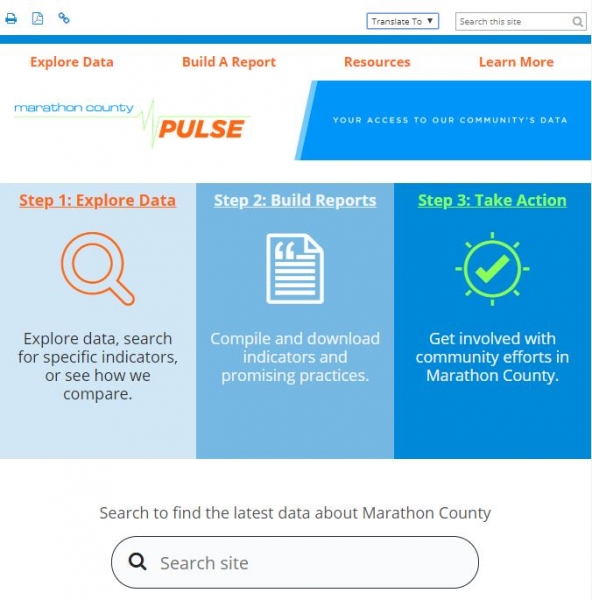
Marathon County Pulse
Marathon County Pulse exists as a result of community partners seeing the value of having easily accessible and accurate data that describes the health and community conditions of Marathon County. Through funding from organizations in our area, Marathon County was...
Marathon County Uniform Addressing
In February 2016, the Marathon County Board adopted a policy to implement a uniform addressing system. The project was completed in November 2019, and resulted in changes to many street numbers and some road names throughout Marathon County. Uniform addressing enables...
MAS Complete
Designed specifically for high school libraries, MAS Complete is a full-text database providing hundreds of popular high school magazines and reference books. Covering subjects such art, history, sports and music, it also includes thousands of biographies and primary...
MasterFILE Complete
Popular full-text magazines, reference books and other sources from world's leading publishers. Details: Covers topics including business, health, education, fitness, sports and leisure, personal finance, general science, multicultural issues, DIY and fashion More...
Merriam-Webster Unabridged Dictionary
The largest, most comprehensive American dictionary. Access to this resource is provided by Badgerlink. BadgerLink is Wisconsin's Online Library, providing Wisconsin residents with licensed content not available through regular search engines. BadgerLink is a service...
New York Times
Access all New York Times articles online for free! Find breaking news, multimedia, reviews and opinions on politics, business, sports, movies, travel, books, jobs, education, real estate, cars and more. You will need to create a free account to access this resource....

Newspaper Source Plus
Newspaper Source Plus includes over 1,500 full-text newspapers and newswires, providing more than 27 million full-text articles. In addition, the database features more than 583,100 television and radio news transcripts, videos and podcasts. Nine Wisconsin newspapers...
Newspapers.com: Library Edition
Historical newspapers archive from the 1700s onward, containing thousands of well-known regional, state and small local newspapers in the United States and other countries. Note: This resource replaced Access Newspaper Archive in 2018. Access to this resource is...
Newswires
Provides near real-time access to top world-wide news via Associated Press, United Press International, and others. Access to this resource is provided by Badgerlink. BadgerLink is Wisconsin's Online Library, providing Wisconsin residents with licensed content not...
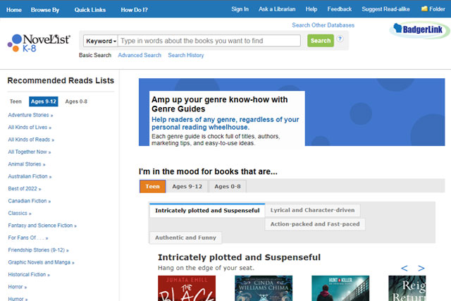
NoveList K–8
A reader's advisory service for children, designed to help you find information about authors, specific books, series information, "read-a-likes" (books similar to ones you enjoy), book and author reviews, book lists, teaching guides, and more! Access to this...
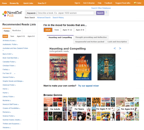
NoveList Plus
A reader's advisory service designed to help you find information about authors, specific books, series information, "read-a-likes" (books similar to ones you enjoy), book and author reviews, book lists, teaching guides and more! NoveList reading recommendations are...
Open Dissertations
Open Dissertations is an open-access database built to assist researchers in locating both historic and contemporary dissertations and theses. Created with the generous support of the H.W. Wilson Foundation and the Congregational Library & Archives in Boston, it...
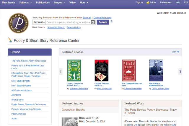
Poetry & Short Story Reference Source
Full-text classic and contemporary poems, short stories, biographies, essays, lesson plans and learning guides. Access to this resource is provided by Badgerlink. BadgerLink is Wisconsin's Online Library, providing Wisconsin residents with licensed content not...

Popular Magazines in Badgerlink
A variety of current, popular magazines are available for free online viewing via EBSCOhost! Use the links below to access these resources. Please note the "availability" date rage; not all issues will be immediately available after publication in print. If you...
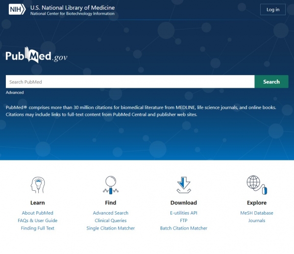
PubMed
PubMed is a free resource supporting the search and retrieval of biomedical and life sciences literature with the aim of improving health–both globally and personally. The PubMed database contains more than 30 million citations and abstracts of biomedical literature....
Regional Business News
This database provides comprehensive full text coverage for regional business publications. Regional Business News incorporates coverage of more than 80 regional business publications covering all metropolitan and rural areas within the United States. Access to this...
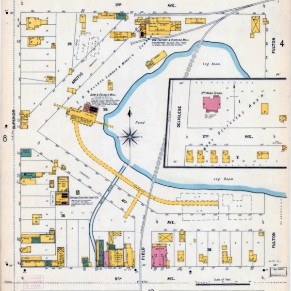
Sanborn Fire Insurance Maps of Wisconsin Communities
Meticulously detailed, color-keyed street maps created for all sizes of cities and villages, Sanborn Maps helped insurance agents in the late 19th and early 20th centuries determine the degree of fire hazard associated with a particular property. Most maps date...
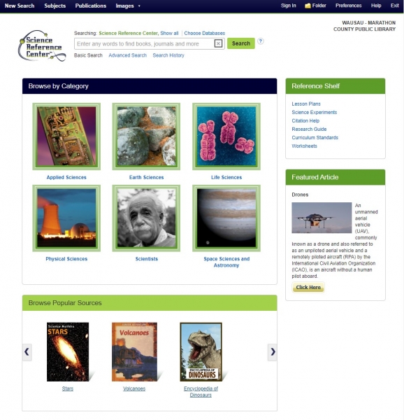
Science Reference Source
Provides easy access to a multitude of full-text science-oriented content, including science encyclopedias, reference books, periodicals and other sources. Topics include biology, chemistry, earth and space science, environmental science, health and medicine, history...
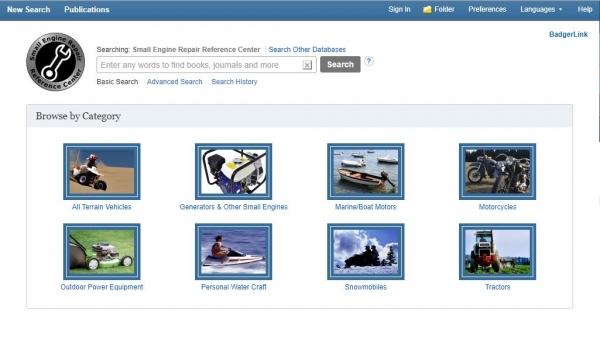
Small Engine Repair Reference Center
Detailed, user-friendly repair guides for all manner of small engines. This database contains maintenance and repair documentation for ATVs, commercial mowers, lawn tractors, generators, motorcycles, boats, outdoor power equipment, personal watercraft/jet skis, snow...
Teacher Reference Center
Research database for teachers providing indexing and abstracts for more than 220 peer-reviewed journals. Covers subjects such as assessment, best practices, continuing education, instructional media, school administration and teacher education.Access to this...
TeachingBooks for Libraries (formerly “Book Connections”)
Powered by TeachingBooks, this resource is focused on enriching everyone's connection to children's and young adult books and empowers all readers to: connect deeply with a book they are reading; gain new insights and understanding from award-winning authors;...
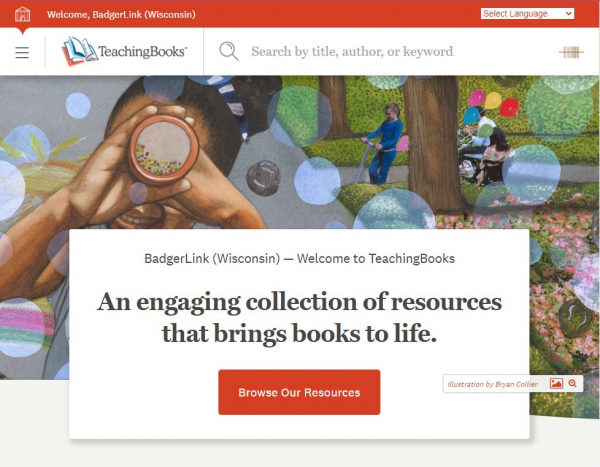
TeachingBooks
Provides audio excerpts of book readings, movies of authors and illustrators, and guides to thousands of titles and multimedia resources on children's and young adult literature.Access to this resource is provided by Badgerlink. BadgerLink is Wisconsin's Online...
Tumblebooks
An online collection of animated, talking picture books that teach young children the joys of reading in a format they'll love. Includes a section with teacher resources. Please note: Use of this resource is limited to patrons of MCPL; it is not available to patrons...
U.S. Newsstream
This online archive contains U.S. news from the 1980s to the present day, featuring key national and regional sources including New York Times, Wall Street Journal, Washington Post, Los Angeles Times, Boston Globe, Newsday and Chicago Tribune, as well as over 80...
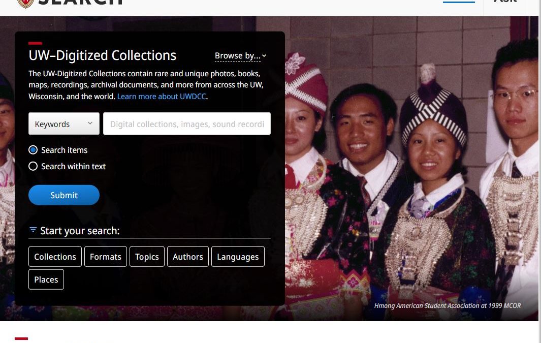
University of Wisconsin Digitized Collections (UWDC)
Since its founding in early 2000, the University of Wisconsin Digital Collections Center has worked collaboratively with UW System faculty, staff, and librarians to create and provide access to digital resources that support the teaching and research needs of the UW...
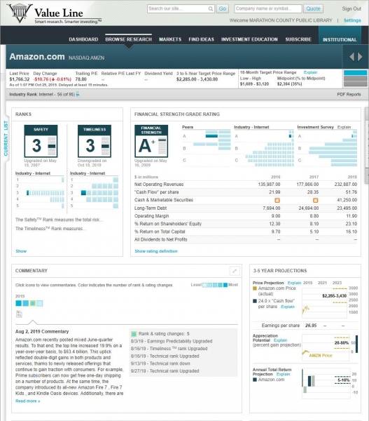
Value Line
Provides regularly-updated investment research on stocks, mutual funds, options and convertibles. Rates most stocks and funds according to a proprietary formula and assigns a "Value Line" score. Please note: Use of this resource is limited to patrons of MCPL; it is...
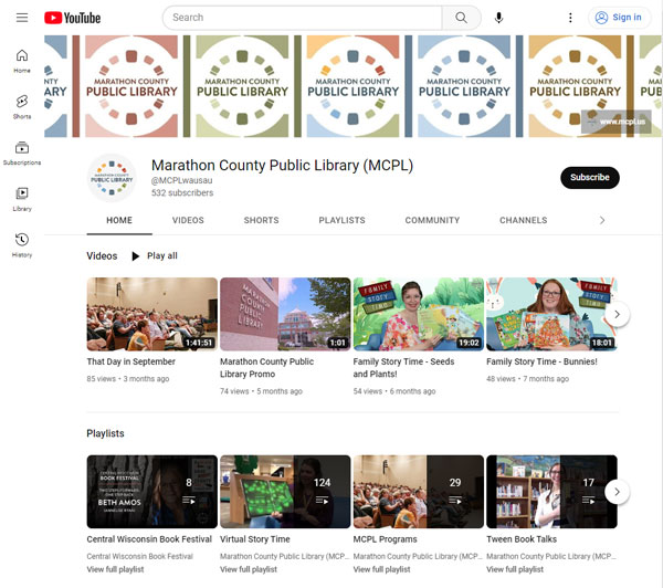
Videos of Library Programs
Library events, story times and how-to videos are archived on our YouTube channel! Experience quality educational and informative video content for kids, teens and adults from the comfort of your home. For live-streamed videos in progress (as advertised on our events...

Virtual Reading Club (Beanstack)
Use Beanstack to track your reading and participate in a variety of reading challenges, such as 1,000 Books Before Kindergarten, 100 Books Before Graduation and our Summer Reading Club! To get started: Use the links on this page to install the Beanstack app on your...
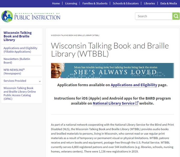
Wisconsin Talking Book & Braille Library
As part of a national network cooperating with the National Library Service for the Blind and Print Disabled (NLS), the Wisconsin Talking Book and Braille Library (WTBBL) provides audiobooks and Braille materials to Wisconsin residents who cannot read or use regular...
Most popular resources:
- Value Line
- New York Times
- TumbleBooks
- Mango Languages
- Central Wisconsin Digitization Project
- Marathon County Uniform Addressing
- Virtual Reading Club (Beanstack)
- AtoZdatabases
- Videos of Library Programs
- Booklist Reader
- Marathon County Land Records / Maps (GIS)
- Ancestry: Library Edition
- Popular Magazines in BadgerLink
- NoveList Plus
- Auto Repair Source
- Newspapers.com: Library Edition
- U.S. Newsstream
- EBSCO All Databases
- Archive of Wisconsin Newspapers
- Consumer Reports
- Consumer Health Complete
- Alt HealthWatch
Marathon County Public Library (MCPL)
- Phone: 715-261-7200
- Fax: 715-261-7204
- Email: info@mcpl.us
- 24/7 account status: 715-261-7209