Marathon County Land Records / Maps (GIS)
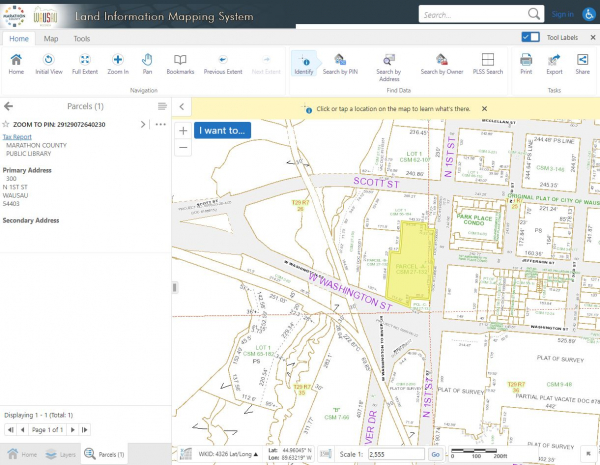
Access Marathon County’s geographic information system (GIS) to view a wide array of information about county properties, including aerial photographs, topography, soil types, natural features and shoreland, land ownership information, property lines and descriptions (similar to what you’ll find in plat books), school and voting district boundaries, property tax rates and assessed values, zoning and more.
To look up a property by address, owner or parcel ID, visit https://ascent.co.marathon.wi.us/AscentLandRecords.
For access to printed versions of current and historical maps, please contact us or search for plat books in the Library Catalog (V-Cat).
Other counties:
To access mapping sites for nearby counties, use the following links:
- Statewide Parcel Viewer
- Clark County Live Web Maps
- Langlade County Live Web Maps
- Lincoln County Live Web Maps
- Portage County Live Web Maps
- Shawano County Live Maps
- Taylor County Live Web Maps
- Waupaca County Live Web Maps
- Wood County Live Web Maps
DNR maps:
For access to mapping sites for hunting, fishing and outdoor recreation, use the following links:
Marathon County Public Library (MCPL)
- Phone: 715-261-7200
- Fax: 715-261-7204
- Email: [email protected]
- 24/7 account status: 715-261-7209