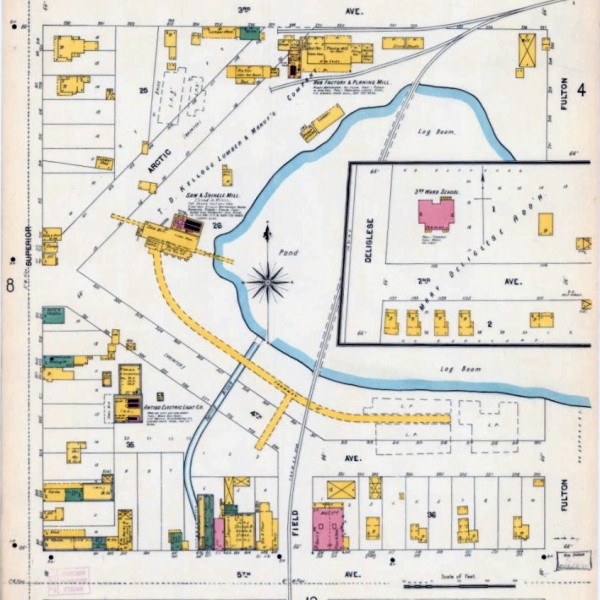
Sanborn Fire Insurance Maps of Wisconsin Communities
Sanborn Maps are meticulously detailed, color-coded street maps documenting cities and villages across America. Produced for insurance agents in the late 19th and early 20th centuries to evaluate fire hazards, they now serve as an invaluable resource for understanding the development of communities, neighborhoods, and architecture. Most historical maps in the collection date from 1883 to 1930.
Related resources:
- Some Sanborn map books may be viewed at MCPL Wausau, but they are not available for checkout.
- For similar maps of Marathon County communities in the present day, consider:
Marathon County Public Library (MCPL)
- Phone: 715-261-7200
- Fax: 715-261-7204
- Email: [email protected]
- 24/7 account status: 715-261-7209